|
|
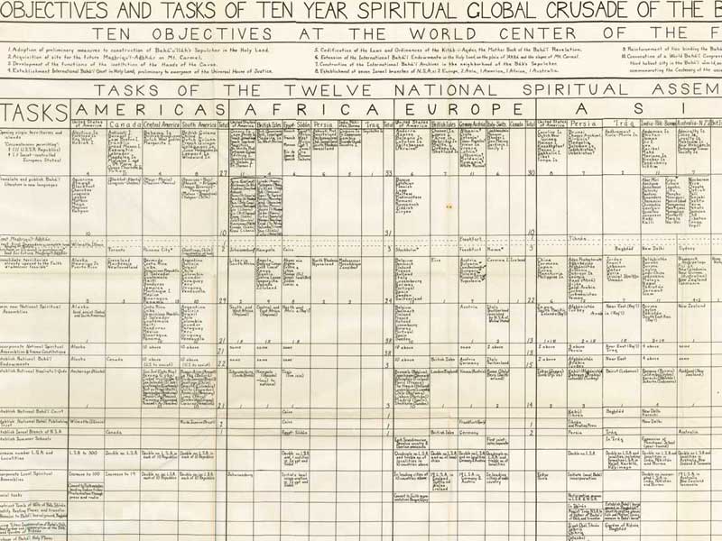
Abstract: Chart of global regions and goals. Notes: Scanned by Kinko's for John Conkling. Compiled by Beatrice Ashton from letters of the Guardian to the 12 NSAs and their annual conventions of April and May, 1953, and from the Guardian's Statistical Information and Supplement on the Ten Year Teaching Plan. |
Objectives and Tasks of Ten-Year Spiritual Global Crusade of the Bahá'í World Faith
by Shoghi Effendi
compiled by Beatrice Ashtonpublished in Bahá'í World, Vol. 12 (April 1950-1954)
Wilmette, IL: Bahá'í Publishing Trust, 1956
| Click on one of the links below to see this image in different sizes. It was originally scanned at 600ppi and saved as uncompressed TIF, which I converted to JPG. The smaller versions have been lightly edited to improve contrast. To see the uncropped, unedited JPG file, click on the "Full" link below. Note: the Full image is huge, please try the smaller sizes first. The "Big" image should be large enough for printing. Original map measures 54.5 cm high x 88 cm wide. |
| Small | 1500x916 px | 207KB | bw12_map1_objective_tasks_ten_year_crusade_1954_small.jpg |
| Medium | 3500x2144 px | 826KB | bw12_map1_objective_tasks_ten_year_crusade_1954_med.jpg |
| Big | 8000x4900 px | 3MB | bw12_map1_objective_tasks_ten_year_crusade_1954_big.jpg |
| Full | 20651x12650 px | 42MB | bw12_map1_objective_tasks_ten_year_crusade_1954_full.jpg |
preview image:

|
|