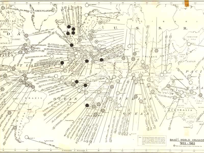
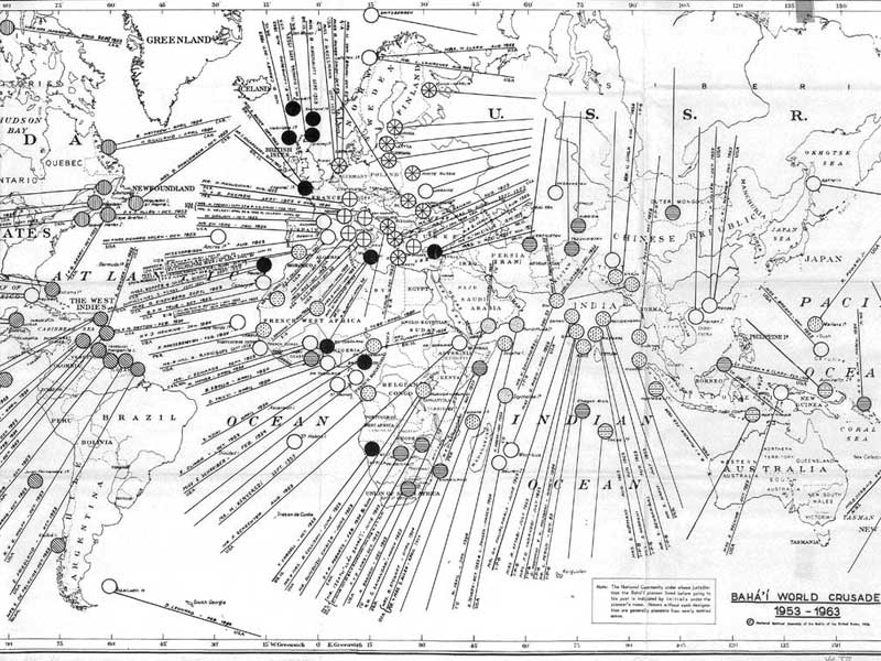
Virgin countries and territories opened during the first year of the 10 Year Crusade 1953-1954
published in Bahá'í World, Vol. 12 (April 1950-1954) Wilmette, IL: Bahá'í Publishing Trust, 1956
Click on one of the links below to see this image in different sizes. It was originally scanned at 600ppi and saved as uncompressed TIF, which I converted to JPG. The smaller versions have been lightly edited to improve contrast. To see the uncropped, unedited JPG file, click on the "Full" link below. Note: the Full image is huge, please try the smaller sizes first. The "Big" image should be large enough for printing. Original map measures 49 cm high x 94 cm wide.
There are two different scans of this map. First is a scan that was sent to me as dithered RGB, i.e. grayscale. Below that is a version that was sent as black-and-white undithered (i.e., bitmap; the bitmapped version is of course dithered now, as I've compressed it; see "big" or "full" to compare). |
preview image, grayscale version:

preview image, black-and-white version:
 |


